1
Basin, divide and outlet
A drainage basin contains land contributing water to a river and its tributaries. A divide separates neighbouring basins; the outlet is where water leaves the basin being studied.
MPSC geography chapters · 3 / 8
Follow the basin from its divide to its outlet, then connect tributaries, dams and districts.
Geography hubChapter section 1 / 5
A drainage basin contains land contributing water to a river and its tributaries. A divide separates neighbouring basins; the outlet is where water leaves the basin being studied.
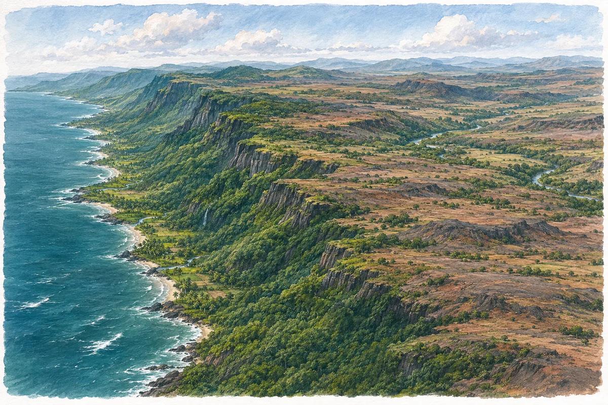
The Godavari and Krishna systems carry water from much of Maharashtra towards the Bay of Bengal. The Bhima and Koyna belong to the Krishna system; the Wardha–Wainganga–Pranhita connection belongs to the Godavari system.
Follow water through a basin
Catchment slopes
Tributaries
Main river
Basin outlet
The Tapi drains towards the Arabian Sea. Numerous Konkan streams also flow west from the Sahyadri. Do not use “peninsular” as a synonym for “east-flowing”.
A tributary joins a larger river; a distributary branches away, commonly in a delta. Basin boundaries can cross state borders. For a dam question, identify the river and basin before its district.
Chapter section 2 / 5
| Feature | What to remember |
|---|---|
| Bhima / Koyna | Krishna system → Bay of Bengal. |
| Wardha / Wainganga | Meet through the Pranhita connection → Godavari system. |
| Tapi / Konkan rivers | West-flowing drainage → Arabian Sea; these are not all one basin. |
Chapter section 3 / 5
Bhima → Krishna → Bay of Bengal. Separate the tributary name from the main basin name.
Then add a district or project from the map; do not infer the basin from an administrative border alone.
Why should water planning use basin boundaries as well as administrative boundaries?
Chapter section 4 / 5
Original practice questions, not previous-year questions. One correct answer per question; no exam score or negative marking is simulated.
Chapter section 5 / 5
Find Bhima, Krishna, Wardha and Wainganga; trace their basin relationships, treating drawn courses as schematic.
Open map
Select a dam and note its river, basin and district as three separate facts.
Open mapContent reviewed: 15 November 2026. A foundation course for general studies, not a claim of complete exam-year syllabus coverage.