Loading content
Geography
Build concepts, connect them to Maharashtra, and practise with explained questions.
- 8
- Chapters
- 5
- Illustrated lessons
- 15
- Interactive maps
MPSC geography chapters
Build concepts, connect them to Maharashtra, and practise with explained questions.
Chapters 1
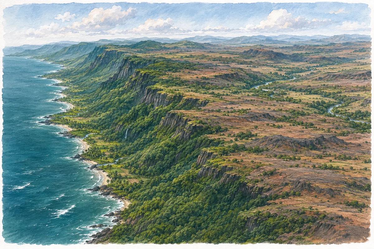
Physical regions of Maharashtra
Read the state from the Arabian Sea across the Sahyadri to the plateau. Separate landforms from administrative divisions.
Study chapterChapters 2
Sahyadri, Satpuda and mountain passes
Locate the two mountain belts and connect passes to transport corridors rather than memorising isolated names.
Study chapterChapters 3
River basins and tributaries of Maharashtra
Follow the basin from its divide to its outlet, then connect tributaries, dams and districts.
Study chapter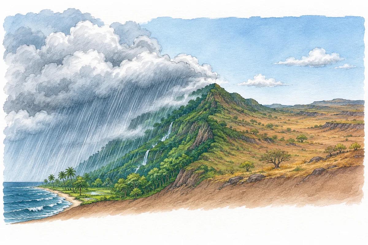
Chapters 4
Maharashtra: climate and rainfall
Explain the wet coast, the rain shadow and why rainfall distribution matters as much as totals.
Study chapter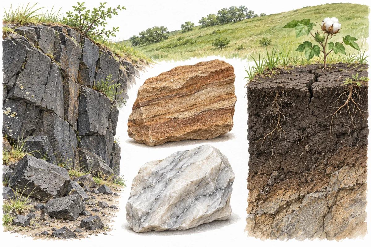
Chapters 5
Maharashtra: soils and crops
Connect soil properties with rainfall, crop requirements and conservation.
Study chapterChapters 6
Understand the Indian monsoon
Seasonal wind reversal, two main branches, relief and rainfall variability.
Study chapterChapters 7
Rocks, weathering and landforms
Recognise rock groups and distinguish breakdown, transport and deposition.
Study chapterChapters 8
Latitude, longitude, seasons and time
Locate places, calculate longitude-based time differences and explain seasons accurately.
Study chapter
Content reviewed: 15 November 2026. A foundation course for general studies, not a claim of complete exam-year syllabus coverage.
Understand it with a sketch
Choose a lesson and tap a numbered point or stage. Read the explanation, test your recall, then answer the quick check.
Water cycle
Stage 1 of 4
Explore the diagram
Simplified process sketch, not a geographic map. Water moves through many connected pathways; this is not a fixed sequence.
Lesson stages
Evaporation
Liquid water becomes water vapour, transferring water from the surface into the atmosphere.
Recall before revealing
Which state does it become?
Gas: water vapour.
Explore the maps
Choose a region or theme. Open a map to explore its features and study facts.
Start with a map
Land and rivers
Build your picture of India: its states, mountain ranges and river systems.
Soils, forests and wildlife
Connect natural regions with vegetation, protected areas and wetlands.
Agriculture and resources
Study crops, minerals, water projects and transport networks together.
Maharashtra geography
Focus on districts, river basins, dams, wildlife and the coast.
Land and rivers
Build your picture of India: its states, mountain ranges and river systems.
Soils, forests and wildlife
Connect natural regions with vegetation, protected areas and wetlands.
Agriculture and resources
Study crops, minerals, water projects and transport networks together.
Agriculture and crops
Crop regions, growing conditions and farming seasons.
Explore map
Minerals and mining
Mineral belts, mining sites and energy resources.
Explore map
Dams and hydropower
Link major projects to their rivers and basins.
Explore map
Ports and waterways
Coastal ports and inland water transport routes.
Explore map
Maharashtra geography
Focus on districts, river basins, dams, wildlife and the coast.
Districts and divisions
Find districts, their divisions and associated geographic features.
Explore map
Rivers and basins
Explore river courses, tributaries and basin connections.
Explore map
Dams of Maharashtra
Revise projects alongside their rivers and districts.
Explore map
Parks and sanctuaries
Protected areas, district locations and wildlife.
Explore map
Ports of Maharashtra
Explore the coast through its ports and trade links.
Explore map
Make each map a revision session
- 1
Locate the feature before reading its details.
- 2
Connect it to nearby rivers, regions or resources.
- 3
Recall the key facts, then try the practice questions where available.
Explore the quiz library for more practice. Individual maps also include topic practice where available.
Browse quizzesLooking for forts, temples or heritage sites? The full atlas includes geography, history and culture.
All study maps